
Words & photo by Peter Cossins
Sometimes you come across a pass that has not figured on your radar before and by the summit you’re wondering how that could possibly have been the case. For me, the Col de la Core was one of those places. It’s relatively well known, has figured on the Tour route on several occasions and, more pertinently, is on my home patch in the Pyrénées Ariégeoises, but it was only when researching this book that I realised what a beautiful experience I’d been missing.
Starting in Saint-Girons, home of arguably the best market in the Ariège each Saturday, the route initially tracks the east bank of the Salat, then hops across to the west bank to reach the roundabout where the D618 splits, the right fork staying with the Salat towards Oust and Seix, which sits at the foot of the Core, and the left following the Arac, which scurries down from Biert and Massat, 20km upstream. Driving on this road of incessant curves can be sickening in all senses of the word, but on a bike I always relish it, the constant weaving and rushing waters delivering an almost hypnotic experience.
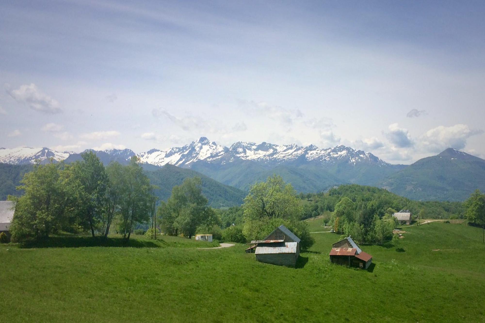
Just before the little triangle of a square Massat (where’s also a tap on the hydrant on the right just as you reach it), the route jags back sharply on to the Col de Saraillé, a climb that many would bypass with the Lers/Agnes and Port so near. I always enjoy this little gem, firstly for the views it presents back over Massat and then for its continual twists and turns. I suspect that the longest straight is only a few dozen metres long, which some may find infuriating, but chimes with my love of a corner and seeing how fast I can get through it, and also what may be revealed as I round it. Beyond the summit, the road emerges from the woods to display the flank of the high ridge that the route will soon be climbing, the squared-off pinnacle of Mont Valier prominent behind it.
Dropping into the Garbet valley, the route follows the river down to Oust, then switches left towards Seix, an extremely picturesque village overlooked by the Château du Mirabat, which was commissioned by Charlemagne in the 10th century. After crossing the Salat and bumping across the cobbled square, the road towards the Col de la Core rises immediately up a street so narrow that your impulse is to check your route-finding to confirm that you’re not riding up a back alley.
At the top, the road intersects with the Chemin de la Liberté trail, along which Allied airman and soldiers were smuggled towards Spain during the Second World War, the crossing marked with a monument.
To begin with, the climb is steady and not especially remarkable. However, as it switches to the south and climbs with more intent, the views towards the Trois Seigneurs and other heights to the east are amazing, particularly in the spring and autumn when the trees aren’t in full leaf. When the road turns west again, the immense bulk of Mont Valier, so distant not so long before, now dominates the way ahead, looming over the ridge on which the col sits, a long hairpin providing the final step up to it. At the top, the road intersects with the Chemin de la Liberté trail, along which Allied airman and soldiers were smuggled towards Spain during the Second World War, the crossing marked with a monument. On the other side of the road, just above the pass, sextants set into the mountainside allow identification of the surrounding peaks.
The descent to the west towards Saint-Girons begins in spectacular fashion, the ridge looking across to the northern side of Mont Valier, the Arcouzan glacier hidden in a cleft on this mostly shaded face. The only one in the Ariège, it’s also the most southern, most easterly and lowest of the dwindling number of glaciers in the Pyrenees, extending to little more than two hectares in 2018. Sweeping around a hairpin, the road hurtles down towards a towering cliff at the end of the ridge dropping northwards from Mont Valier, then veers at the last to dash across the foot of it, the awe-inspiring intersection of rock and road well worth a pause.
After passing the turn to Lac de Bethmale and crossing back to the northern side of the Bethmale valley for three straight and fast kilometres, the gradient eases off considerably before a last dip into Les Bordes-sur-Lez. The final 16km back to Saint-Girons, running slightly downhill through pretty villages, notably Castillon-en-Couserans, and farmland, is a big gear breeze and a nice end to a super day out.
Route in reverse
Essentially, the choice of direction comes down to whether you want to do most of the climbing early in the ride or later on. The views towards Mont Valier massif on the Core’s western flank are very impressive and Seix is a good mid-ride refuelling point. There is an alternative route into Saint-Girons following the old rail line on the east bank of the Salat. It’s one-way, but lights are required to negotiate several long tunnels.
Distance: 92.1km
Elevation gain: 1,657m
Highest point: 1,395m
Estimated moving time: 3.5hrs/4.5hrs/5.5hrs
Degree of difficulty: **.5
Climbs: Col du Saraillé (942m), Col de la Core (1,395m)
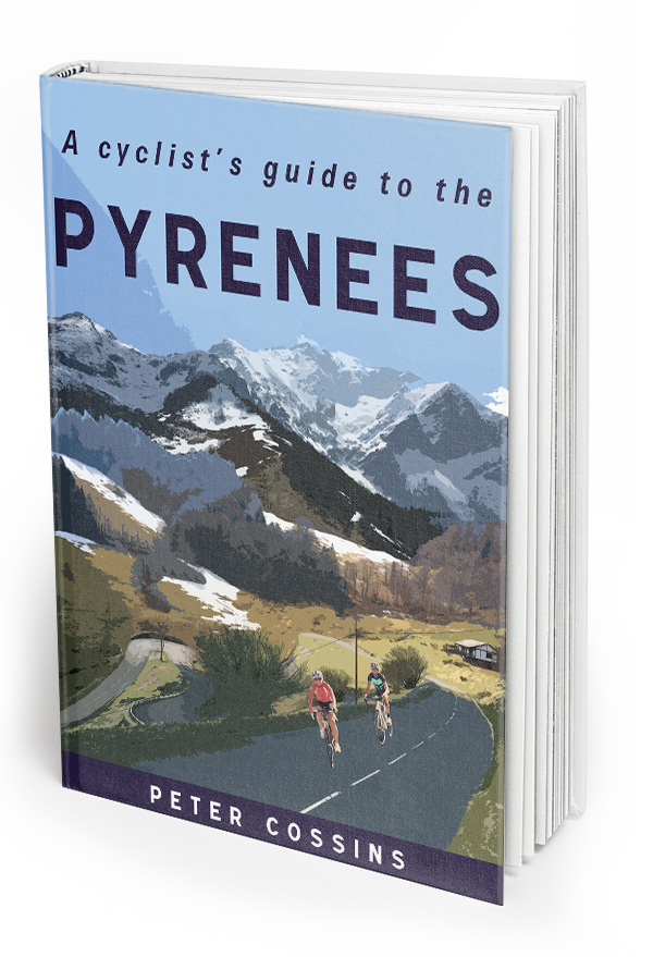
This is one of 112 routes that feature in Peter Cossins’s new book A Cyclist’s Guide to the Pyrenees, which is available from Great Northern Books Great Northern Books.